Brighton and Hove by ward and neighbourhood
A map of all 31 wards with the firms on our lists, three central neighbourhoods told through census figures and heritage records, and a tool to compare any two wards on renting, cars and age.
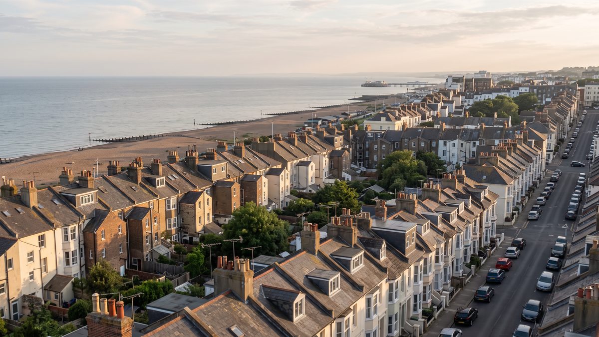
Brighton and Hove Neighbourhood Map: 31 Wards from Shoreham to Saltdean and the Firms in Each
Tap any of the 31 wards from Shoreham-by-Sea to Saltdean to see how many firms from our lists it holds, of what kind, and which of them come first on a list. Official ward lines, mid-2024 populations, and which ward Seven Dials, Hanover or The Lanes falls in.
Updated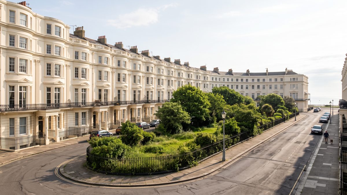
The Lanes, North Laine, Kemptown and Hove: Three Brighton Neighbourhoods in Figures
Who lives in central Brighton, Kemptown and the middle of Hove, from the 2021 census: renting, living alone, age. Their conservation areas and listed buildings, and the firms from our lists that gather there, from jewellers in Regency to counsellors in Hove.
Updated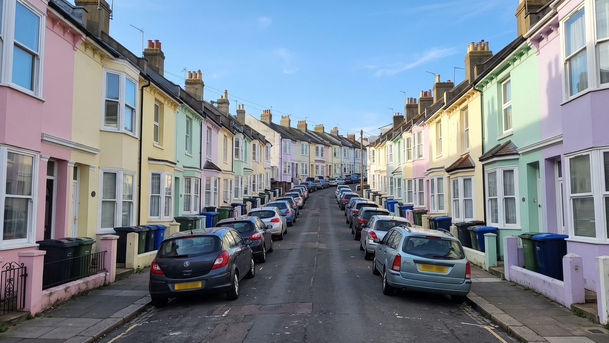
Brighton and Hove Wards Compared: Renting, Living Alone, Cars and Age from the 2021 Census
Put any two of the 31 wards side by side, Shoreham and Southwick included: how many homes are privately rented, how many households live alone or without a car, and how young or old each ward is. Census 2021 figures added up into today's ward lines.
Updated